Welcome to the Iceland waterfalls guide. From the iconics Godafoss, Gulfoss, Dettifoss, Skogafoss to more discrete waterfalls in Iceland. After many trips in Iceland, it’s time for me to share my knowledge and experience with you , this extensive guide about waterfall in Iceland comes to point. The most iconic Waterfall in iceland are very impressive not only by the size but also with powerful stream. Many have magnificent basins carved into the basalt base by the waves or by the catastrophic floodings of the past .
Table of contents
- Godafoss
- Aldeyjarfoss
- Kirkjufellfoss
- Skogafoss
- Gulfoss
- Fossarrett
- Seldjalandfoss
- Bruarfoss
- Svartifoss
- Oxararfoss
- Hraunfossar
- Barnafoss
- Stevefoss
- Dettifoss
- Selfoss
- Urridafoss
- Langarfoss
- Dynjandi
- Baejarfoss
- Hundafoss
- Hrisvadsfoss
- Gongumannafoss
- Strompgljufrafoss
- Complements to the Iceland Waterfall Guide
Godafoss
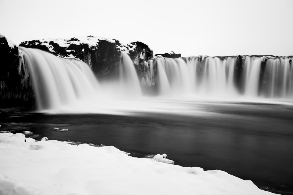
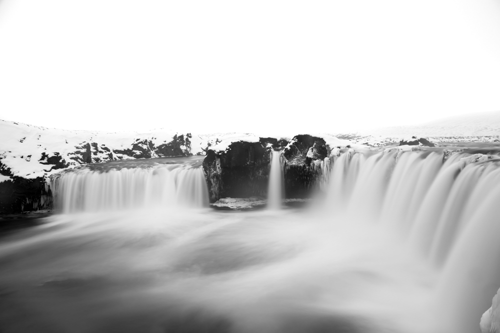
One of the most beautiful waterfall in this iceland waterfall guide, Godafoss is one of my favorite waterfall in Iceland. I could stay hours to photography it. It has a superb horseshoe-shape . The two banks of the waterfall are photogenic. My favorite weather conditions is when Godafoss is under snow.
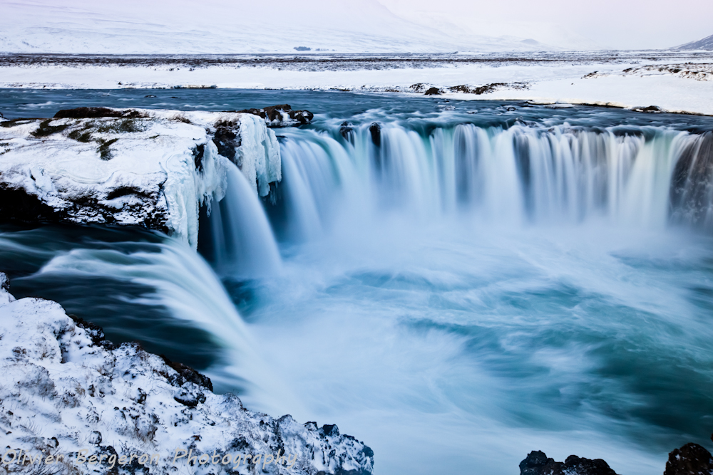
Godafoss can be access very easily from the road 1. It is located to the north between Akureyri and the Lake Myvatn
A small parking after the N1 station on the 844 road allows the access to the East bank .
Tips : The site is sometimes very windy in winter. Often i need to stay on my knee upon snow , holding tight my tripod.
Bring some handkerchiefs or cotton for clean the lens of your camera. The strong wind project snow or rain in winter.
For photographers , bring a neutral density filter for get some somptuous long exposure shot.
location coordinates GPS : 65.682878, -17.550214
65°40’58.4″N 17°33’00.8″W
Aldeyjarfoss
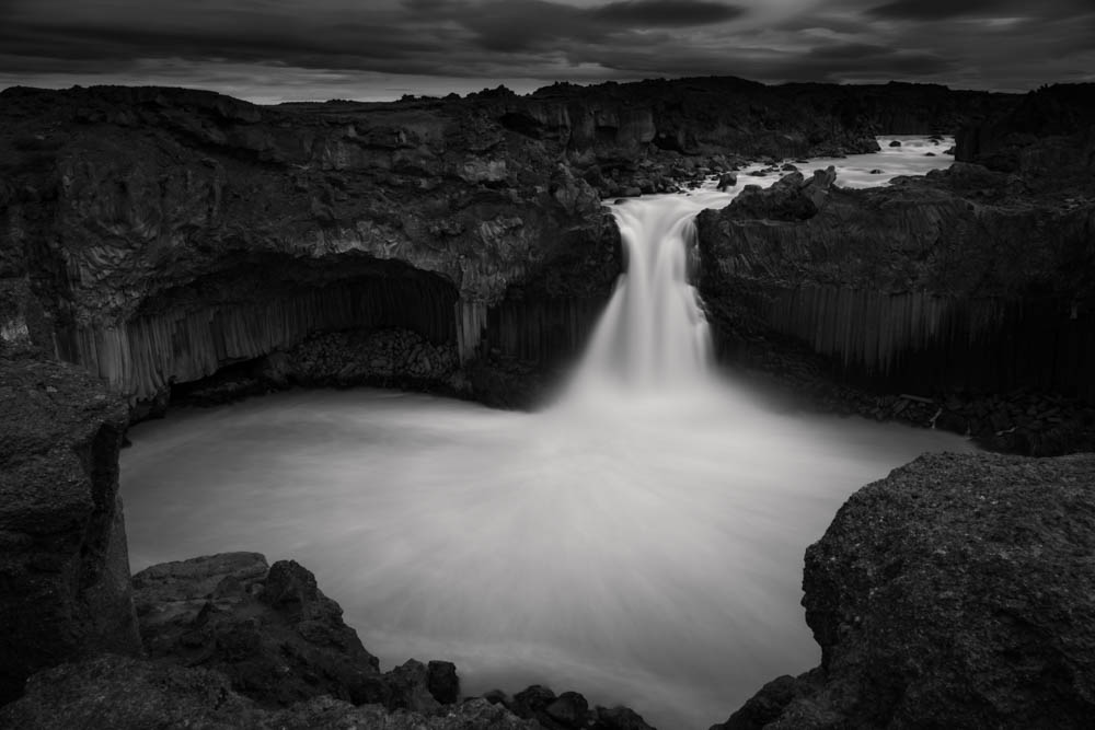
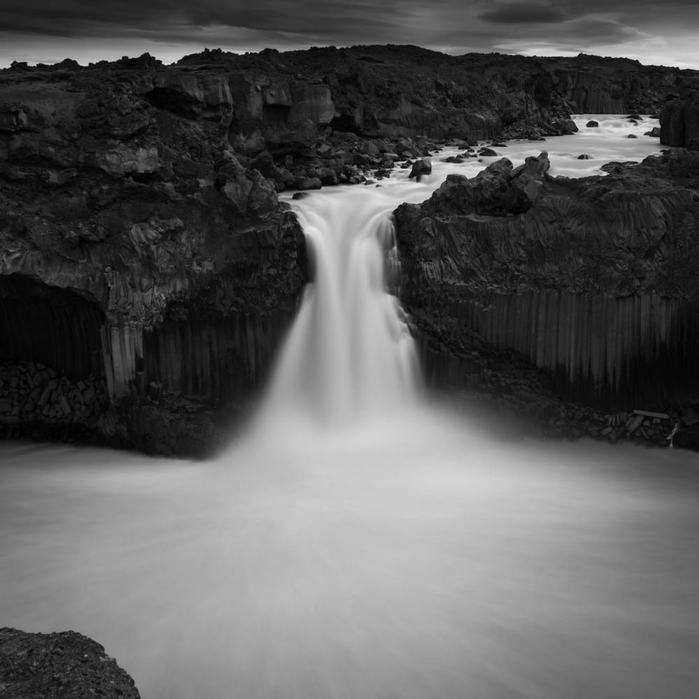
Aldeyjarfoss is a majestic waterfall In Iceland and one of my favorite with Godafoss which she is not too much far. They are both located in the highlands of North Iceland between Akureyri and the lake Myvatn .
The waterfall Aldeyjarfoss is of an amazing beauty, surrounded by basalt column, The stream pours in a horseshoe-shape basin.
You can access Aldeyjarfoss from the road 1 by the road 842 , a gravel road, and by the road F26 more rocky with a 4 wheel drive car, relatively easily in summer . This part could be hard in deep winter with heavy snow and you may need to rent a super jeep and/or a guide . In the heart of winter 2015, I try to access by the road 843 parallel to the river. After a scary passage on a small bridge cover by heavy snow with my 4 wheel . We finally give up the final walk to the waterfall due to heavy wind and snow projection.
During my recent visit, the water was very muddy and greyish so I only shoot some long exposure photography. My settings were F18, Iso 100. exposure time 30 seconds with a ND1000 neutral density filter. I hope to come back Aldeyjarfoss in winter for get a magnificent blue water and get some good shots.
location coordinates GPS : 65.366643, -17.337055
65°21’59.9″N 17°20’13.4″W
Kirkjufellfoss
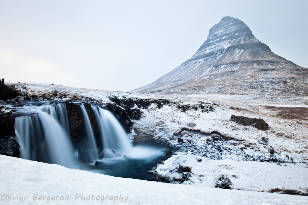
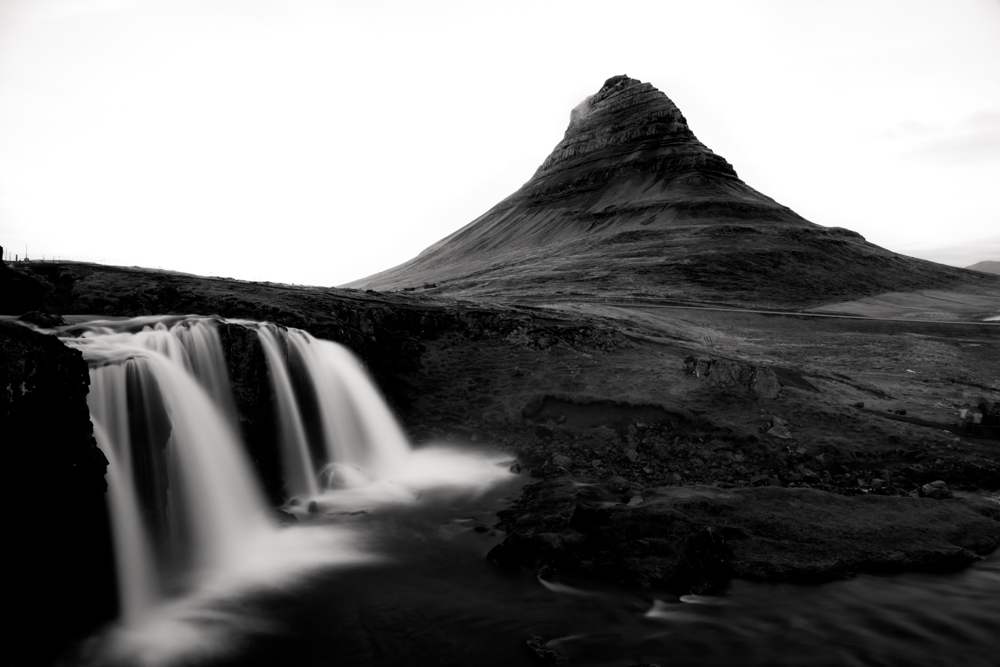
No need to present the Kirkjufell, iconic mountain of the Snaefellnes peninsula, Kirkjufellfoss is the very photogenic small waterfall of the Kirkjufellsa river. Kirkjufellfoss is very easy to reach from road 54 past the town of Grundarfjordur. A small path leads directly to the waterfall from the small parking lot (beware of slipping in the presence of ice).
location coordinates GPS : 64.926749, -23.311337
64°55’34.7″N 23°18’39.3″W
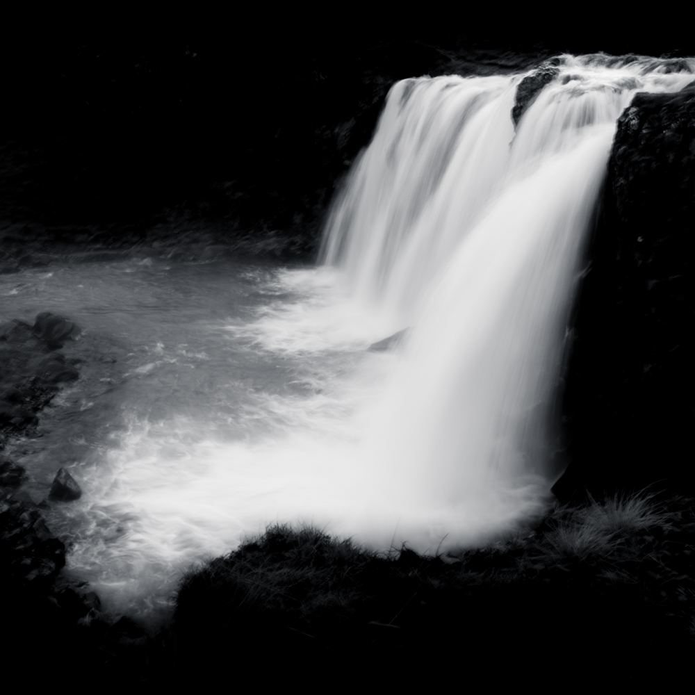
Skogafoss
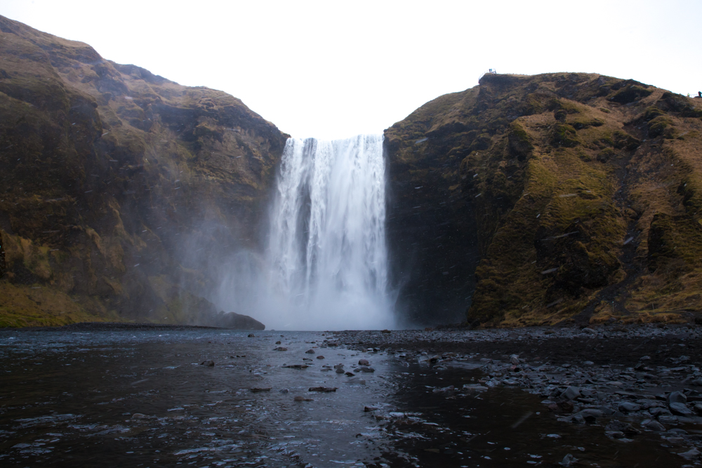
Skogafoss is a huge and iconic waterfall of the South Iceland on the Skoga river. The water drop from a height of 60 meters. Many birds surround the waterfall and live on the cliff. The cliffs are the old coastline of South Iceland in the time where the level of water was more high.
The access to Skogafoss is very easy from the road 1.
If you want shoot some long exposure you may need to arrive very early due to the massive amount of tourist and photographers or combine many shoot in photoshop for remove silhouette. Near the waterfall , protect your camera , the spray are very strong and thick.
location coordinates GPS : 63.532127, -19.511421
63°31’55.7″N 19°30’41.1″W
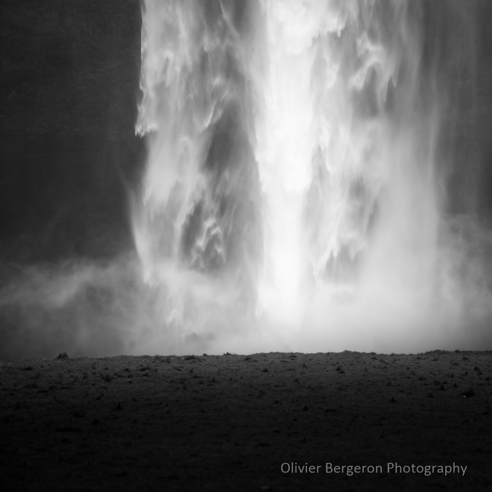
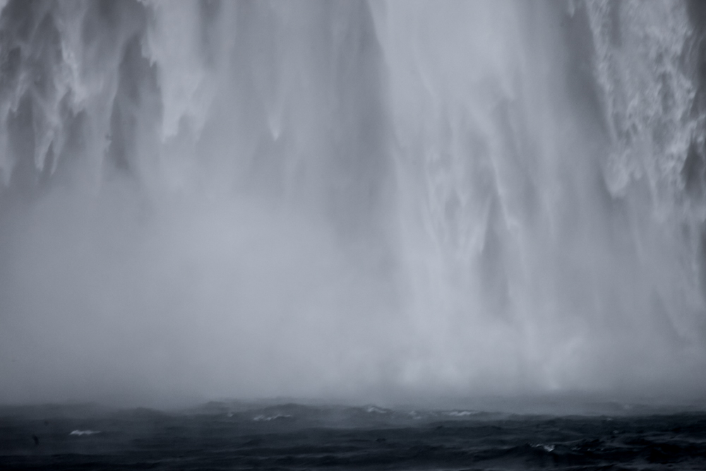
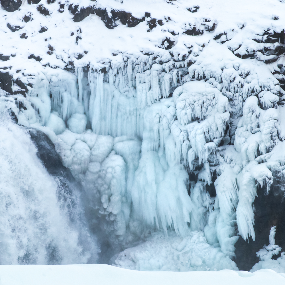
Gulfoss
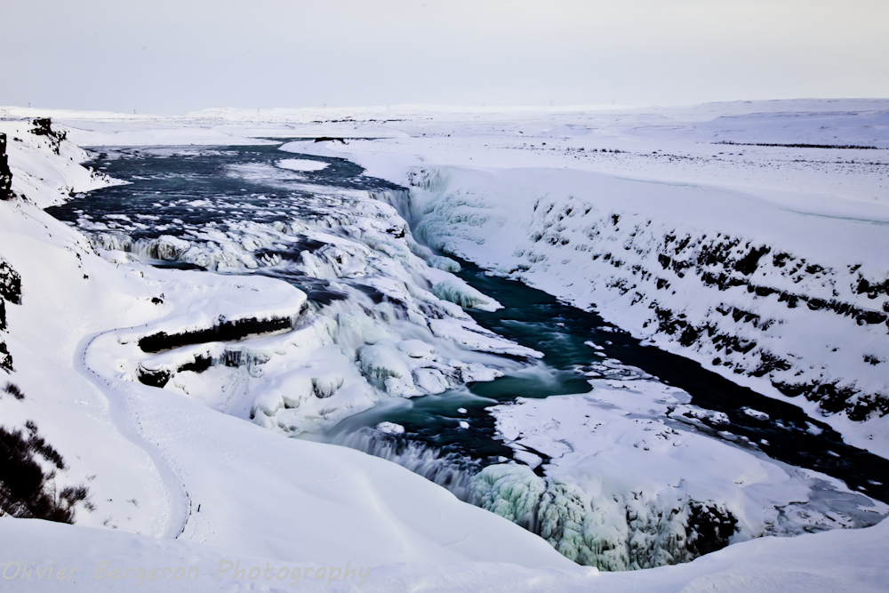
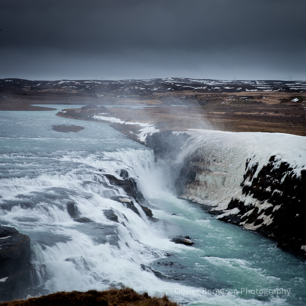
Gulfoss is a must-see on the golden circle tours in southwest Iceland on the Hvita river. You can easily combine his visit with a visit to the Strokkur and Geysir geysers as well as a visit to the Europe – America plate collapse ditch located at Tingvellir on Lake Tingvallavatn
The waterfall is accessible by road 35 and has a parking lot and a store-restaurant establishment
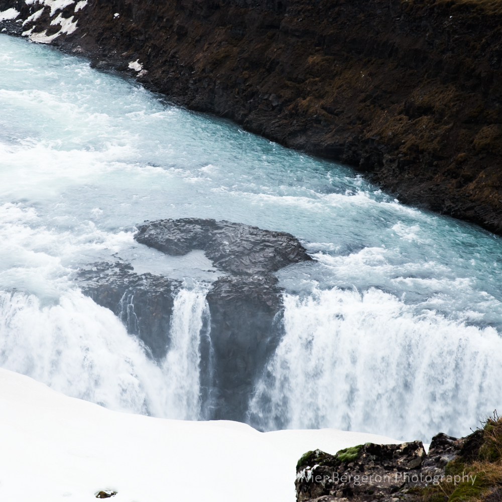
Gulfoss with a total width of 70 meters and a total height of 32 meters is a cascade of several floors.
The flooding of the waves in the crevasse is impressive. During my visits in winter, the trail leading to a viewpoint very close to the crevasse was systematically closed due to the heavy snow cover. Photographers such as iurie Belegurschi were able to get magnificent close-ups of the previously frozen crevasse.
The droplets created by the waterfall produce a veil on the photos.
useful clarification: the small path can be very slippery in winter,
cramped soles are very useful.
The site is very busy.
location coordinates GPS: 64.325634, -20.124962
64°19’38.5″N 20°07’12.3″W
Fossarrett
Fossarrett is a small, not-so-famous waterfall and that’s a shame. She is very photogenic on a mini long exposure photography.
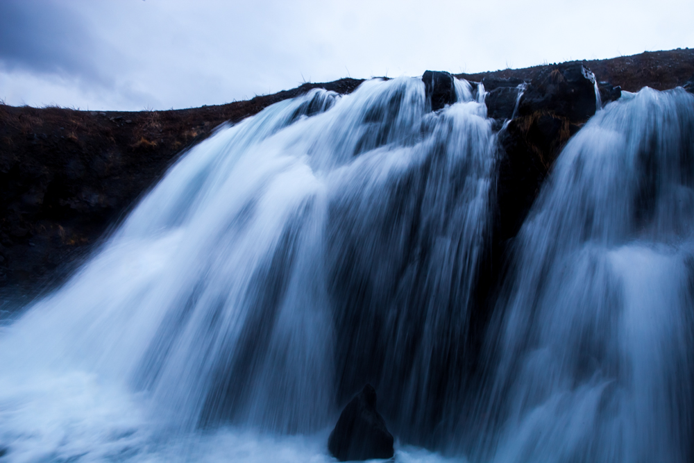
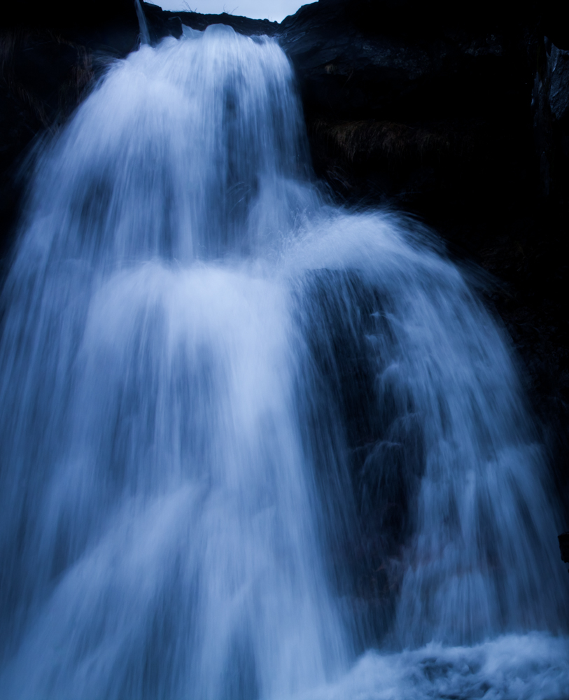
It is located in the east of Iceland along the Hvalfjordur fjord on route 47.
location coordinates GPS: 64.359617, -21.452972
64 ° 21’50.9 « N 21 ° 27’13.0 » W
Seldjalandfoss
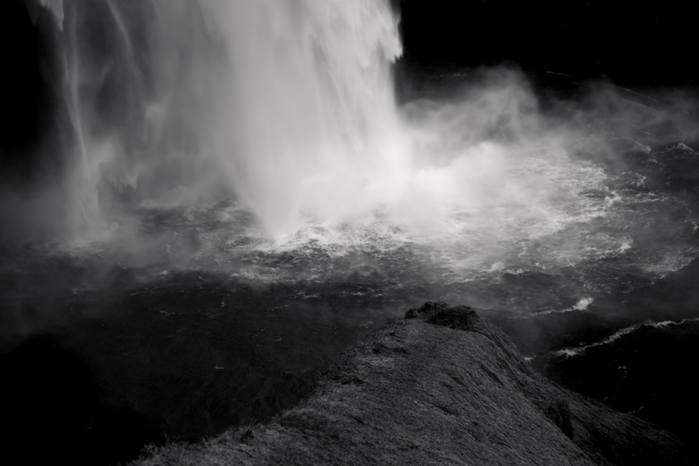
In the south Iceland, Seldjalandfoss is another iconic waterfall of Iceland . It’s visit can be easily combine with skogafoss. You can get there from the road 1 between Hella and Vik. It’s one of the most beautiful waterfall in iceland. The seldjaland river fall from a height of 60 meter.
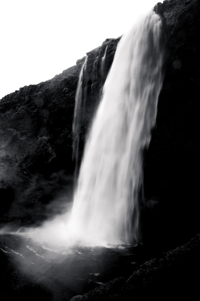
That’s possible to walk behind the waterfall but you need to take photos extremely fast due to the huge amount of drops in the air. Be aware that in winter this way can be very slippy.
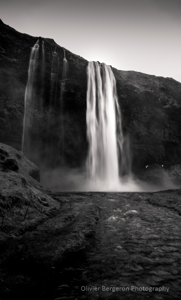
location coordinates GPS : 63.61625, -19.98535
63°36’56.5″N 19°59’19.1″W
Bruarfoss
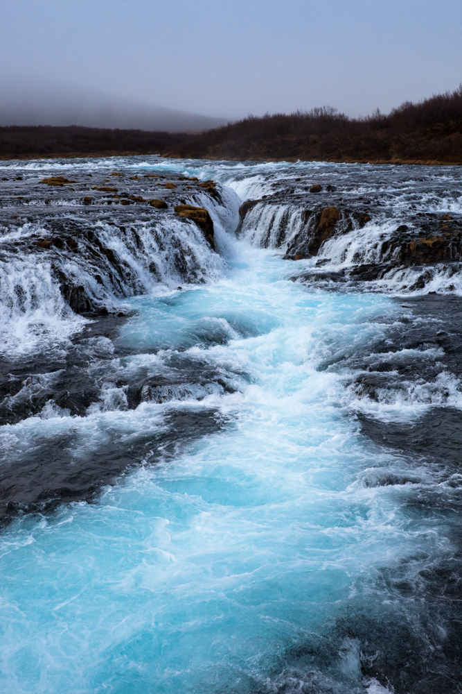
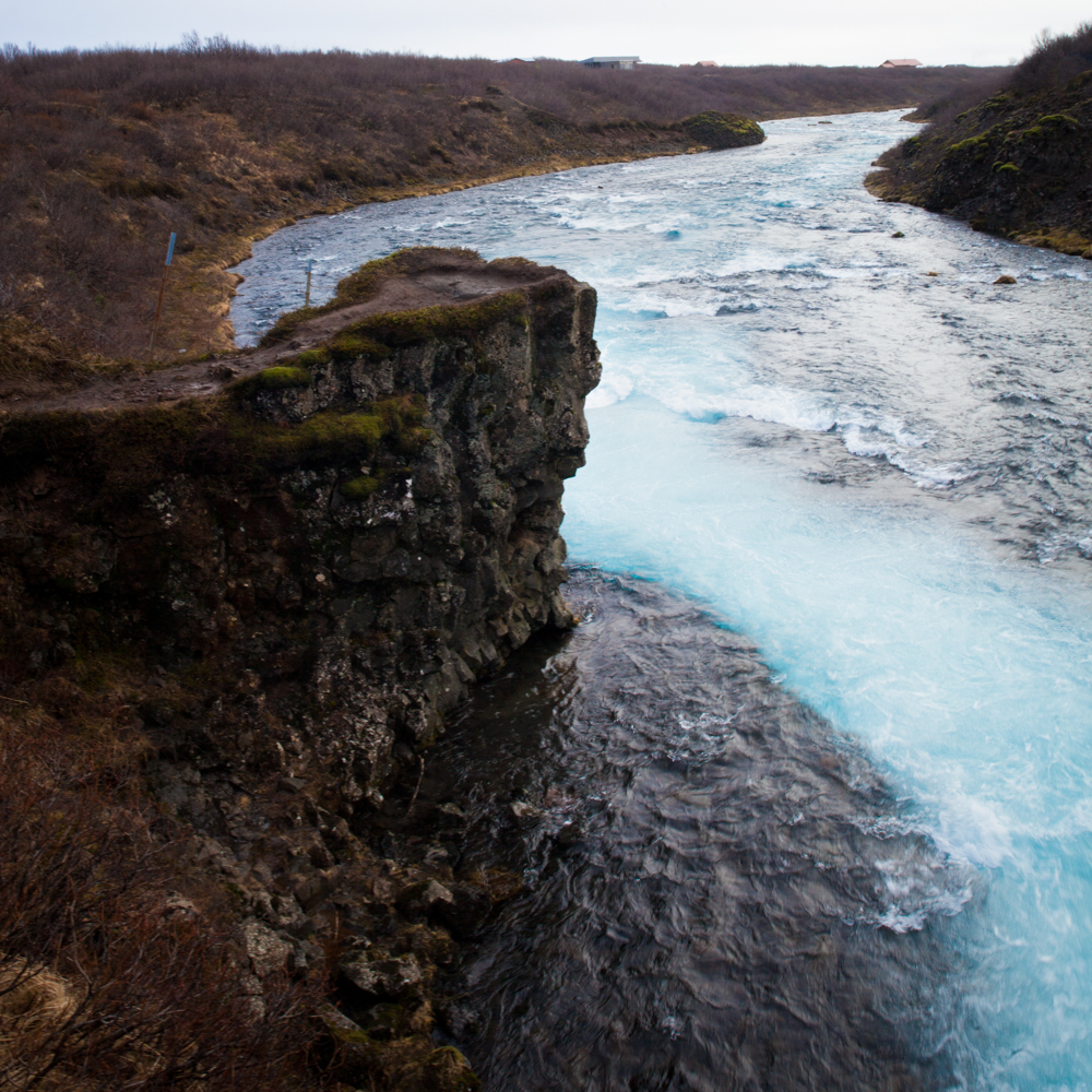
Bruarfoss is a somptuous blue color waterfall along the bruara river.
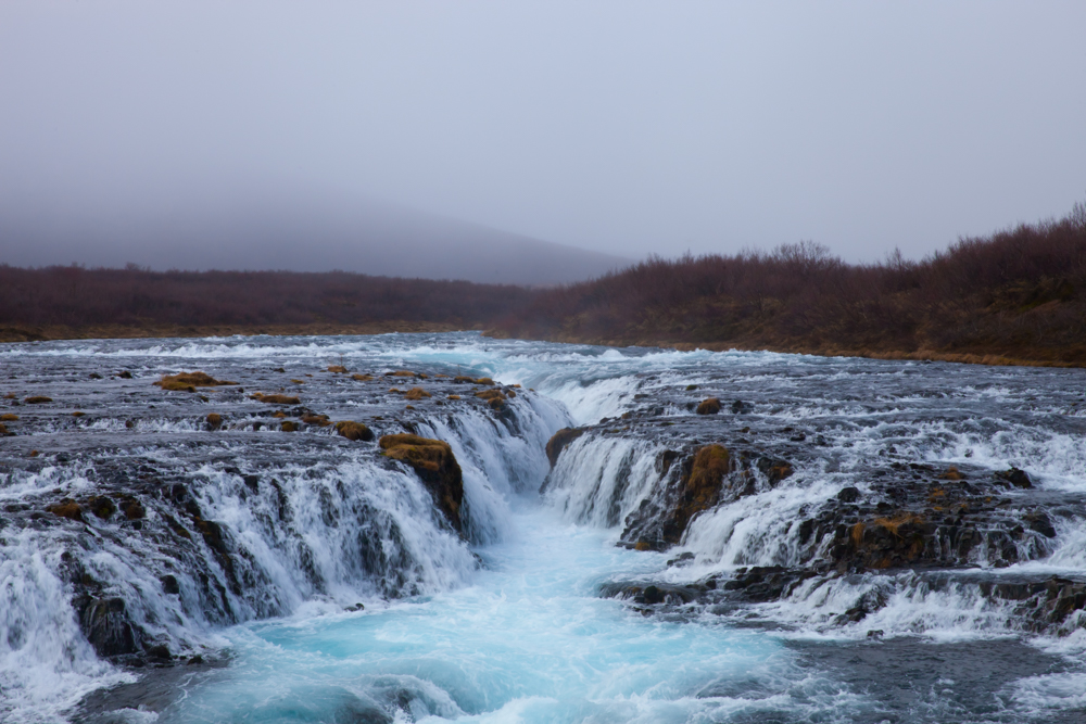
You can get there by the road 37 and combine the visit of Bruarfoss with the visit of Gulfoss after the city of Laugarvatn. You need to stop your car at the parking and walk around 3 kilometers to reach the cascading blue water.
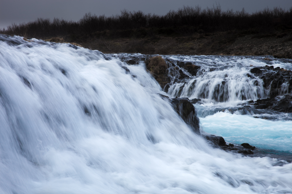
During my visit, the way was very muddy and not so easy to walk, so don’t be afraid to be dirty but the visit was worthy.
location coordinates GPS : 64.26452, -20.51578
64°15’52.7″N 20°30’56.8″W
Svartifoss
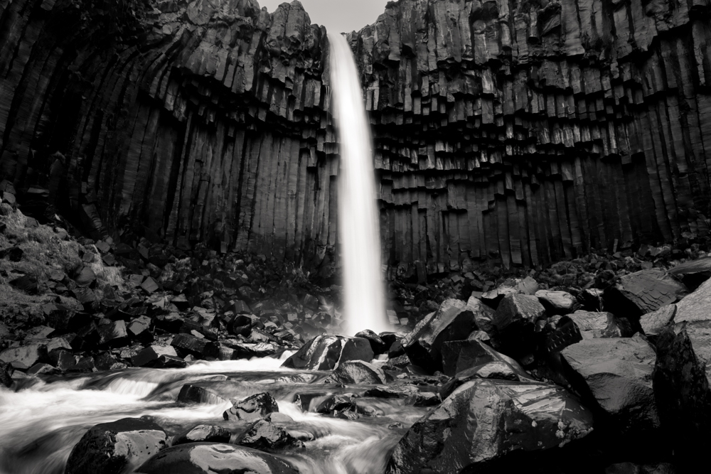
A majestic waterfall surround by somptuous organ basalt column.
Between Vik and Hofn, take the road 998 from the road 1 and drop your car at the skaftafell campground.
The trail to access Svartifoss is around 3 kilometer one way, it’s climb a little but the walk is easy.
You can combine your day trip with the visit of the Svínafellsjökull Glacier not far, some kilometers to the east.
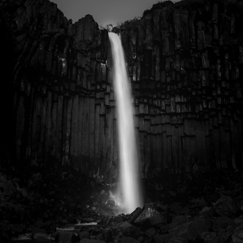
location coordinates GPS : 64.02762, -16.97535
64°01’39.3″N 16°58’30.9″W
Oxararfoss

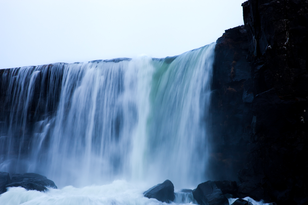
You can visit oxararfoss on the oxara river during your visit of the thingvellir national park and his atlantic ocean ridge crossing the park. A very impressive site. The shorter way to the cascade is by the parking P3.
Road 36 from Reykjavik or 35 and 36 from Selfoss.
location coordinates GPS : 64.26626, -21.11707
64°15’57.8″N 21°07’02.1″W
Hraunfossar
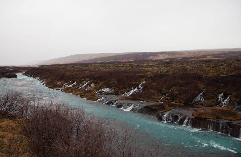
location coordinates GPS : 64.70284, -20.977214
64°42’10.4″N 20°58’38.1″W
Barnafoss
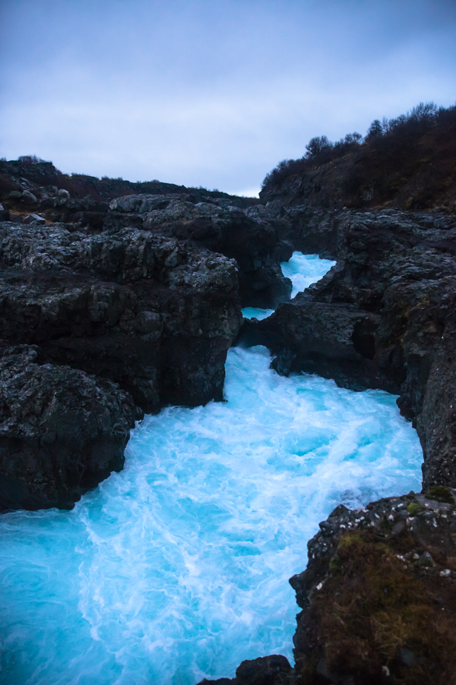
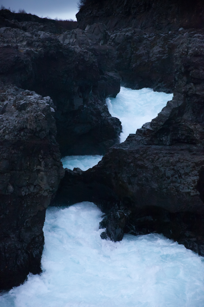
Barnafoss is just a little bit more far away from Hraunfossar, the stream is powerful and of a nice blue color.
location coordinates GPS : 64.70245, -20.97727
64°42’06.9″N 20°58’20.6″W
Stevefoss
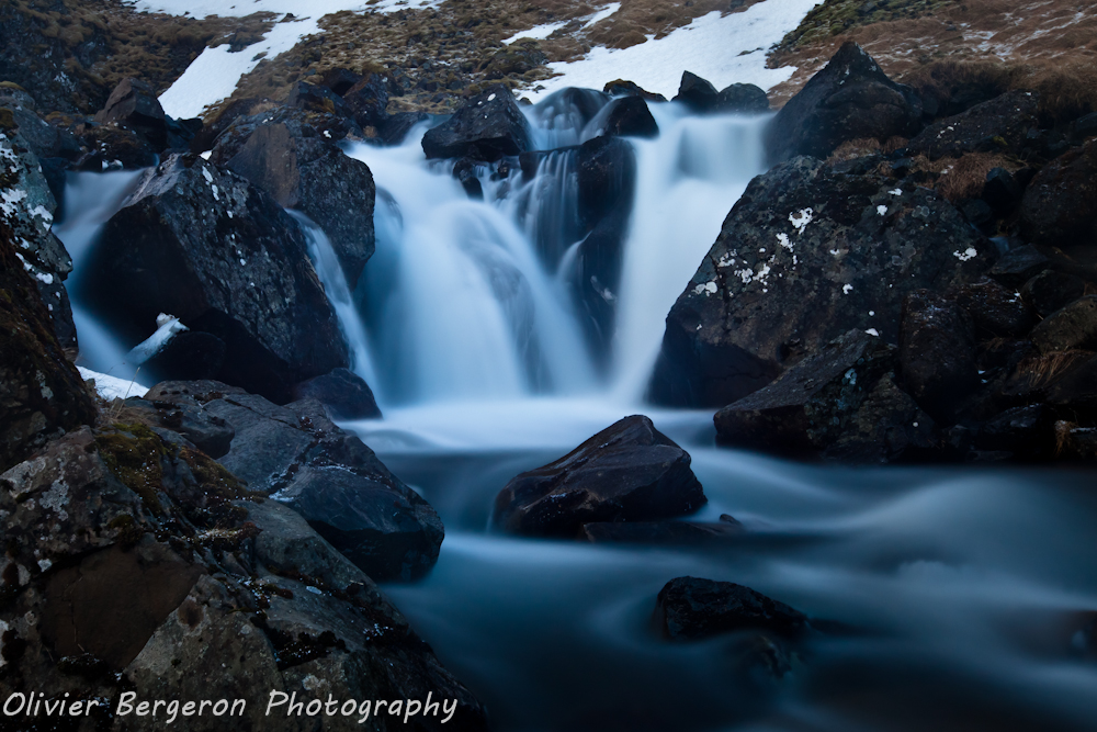
Stevefoss is a small waterfall in snaefellnes, near the city of Olafsvik. However i decide to include her in this Iceland waterfall guide. After all, it’s a good photography subject. You reach the site by the road 574. You need to turn on a small way on your left (coming from Grundarfjordur). A farm is not far from the waterfall.
location coordinates GPS : 64.88603, -23.64312
64°53’09.9″N 23°38’35.2″W
Dettifoss
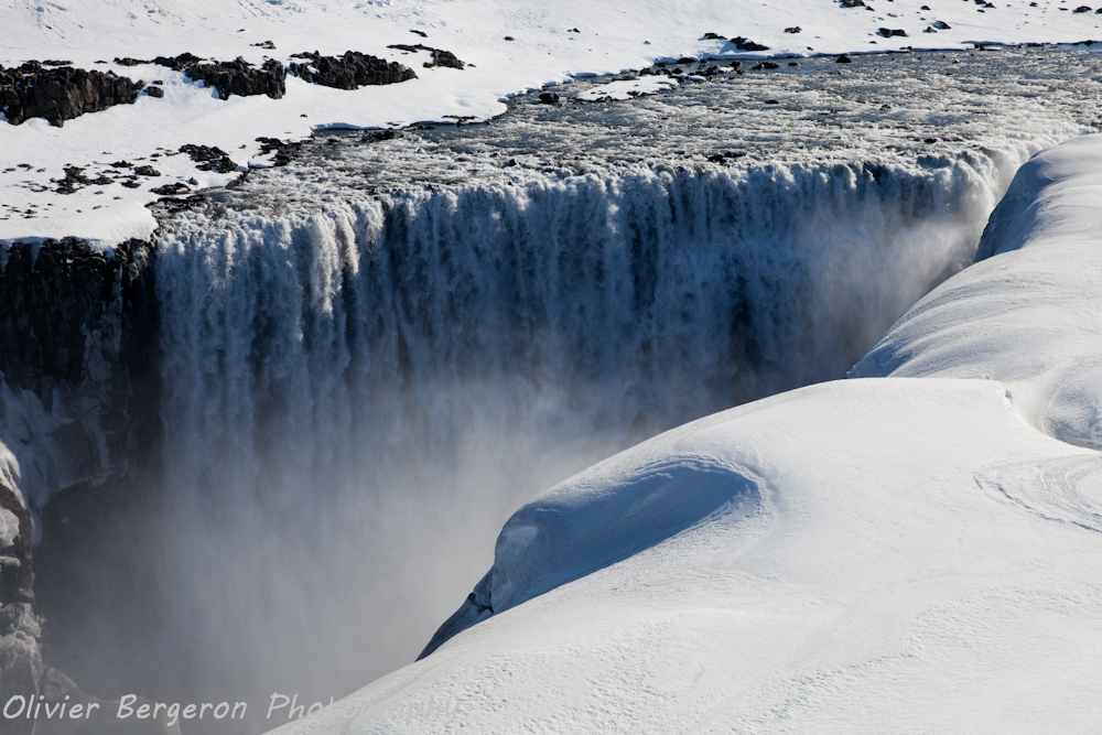
Another top in this Iceland waterfall guide, Dettifoss is the cascade which appear at the beginning of the film Prometheus from Ridley scott in the Alien serie . The view is taken from the east bank in the movie. Dettifoss is on the road after Reykjahlid at Myvatn lake in direction to Egilsstadir.
Dettifoss is considered the most powerful or the second most powerful waterfall in Europe. Catastrophic floodings of the Jokulsa a fjollum river have eroded the valley and created the canyon. The width of Dettifoss is around 100 meters (330 feet) and her height of 44 meters (144 feet).
Until now i gone to dettifoss in winter, using the road 862 , the road 864 to the east bank being closed in winter. The road 864 is open in summer normally. You have access to some parkings on the site.
Tips : In winter, you can have 30 centimeters of snow or more on the site, walking to the cascade is not always easy, take good hiking shoe or snowshoes, yes i’m serious. Personnally i use the Timberland 6 inch boot and some crampons. Despite the equipment, prepare to some funny or not funny fall in the snow !!!
Make me pleasure, don’t walk there with summer basket in the heart of winter.
Ah and take care about the black ice ont the road 862 !!!
The region is rich of site, you can combine the visit of Dettifoss with the visit of Myvatn lake, Grjótagjá, the krafla crater, the Hverir geothermal area with his boiling mud pits and swimming in the Myvatn nature bath hot spring , my little hedonist pleasure in this region.
location coordinates GPS : 65.81478, -16.38470
65°48’52.8″N 16°23’04.9″W
Selfoss
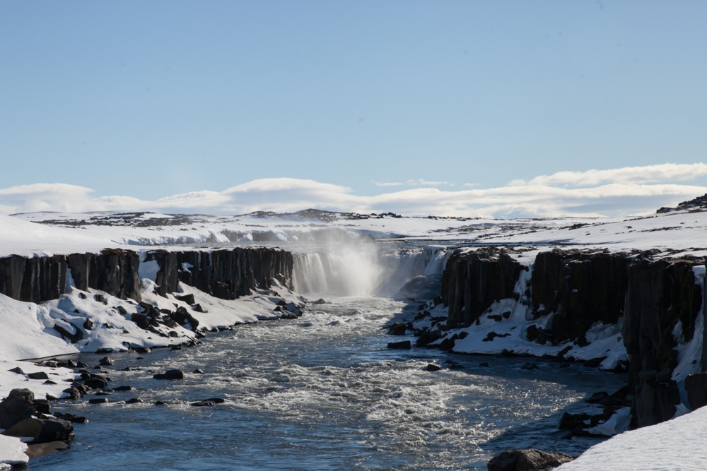
Selfoss is a few hundred meters upstream of Dettifoss. She lays in a magnificent portion of the canyon , cut by the Jokulsa A Fjollum river.
A huge amount of mist surround the cascade but it’s possible to catch a rainbow on photography sometimes over the canyon.
location coordinates GPS : 65.80512, -16.38679
65°48’18.6″N 16°23’12.6″W
Urridafoss
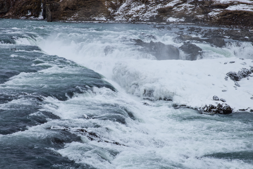
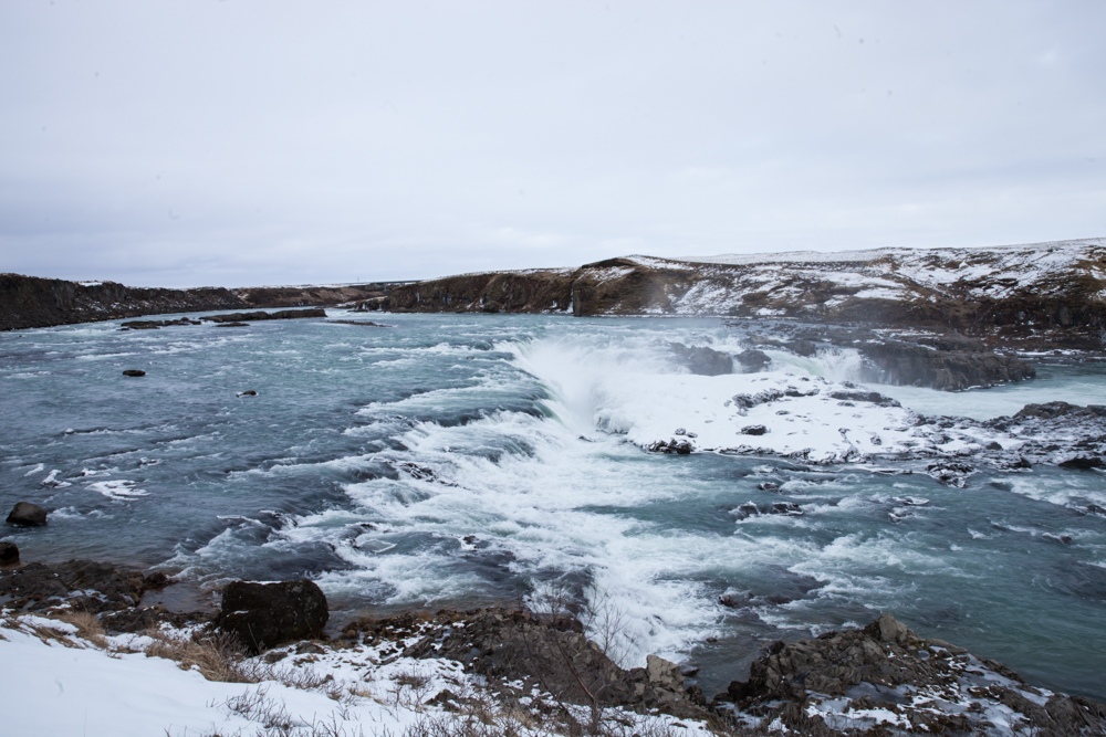
Urridafoss waterfall is located between Selfoss city and Hella. It is often overlooked by tourist speeding up to Vik but Urridafoss deserve better. The landscape is nice and the flow of the river is very strong there.
From the road 1, you need to turn on the urridafossvegur. There is a parking on the site.
location coordinates GPS : 63.92465, -20.67217
63°55’28.8″N 20°40’20.0″W
Langarfoss
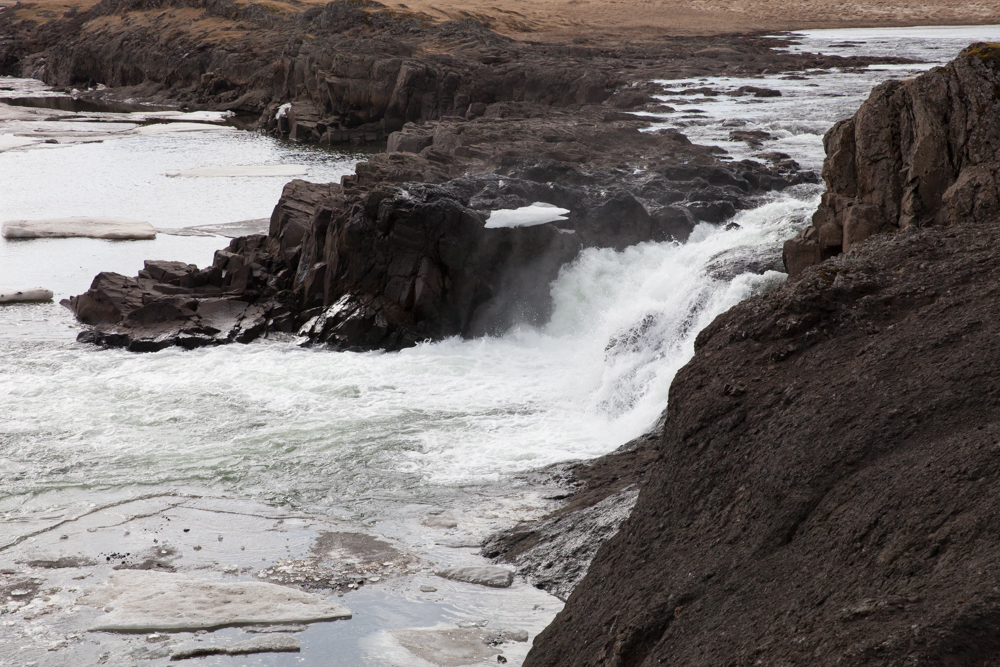
Not too much far from the city of Borganes, the langarfoss waterfall worth the visit with the river Langa surrounded by a chaos of Iceberg in winter.
The waterfall itself is small but the landscape is very beautiful.
Langarfoss is located on the road 54 ans the access is very easy.
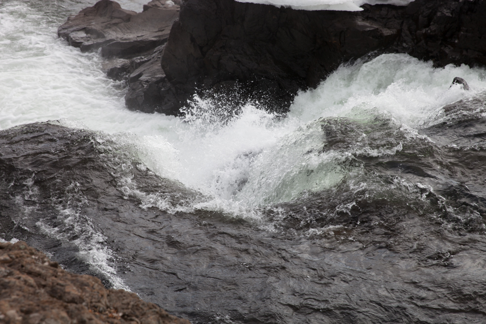
location coordinates GPS : 64.58618, -22.01347
64°35’09.7″N 22°00’48.5″W
Dynjandi
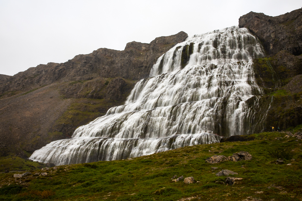
Dynjandi is a majestuous waterfall in the Westfjords. My first try to visit her was a failure in winter, the road 60 being closed. We also change our hotel at the last minute. Iceland come with surprise !!!
Finally i can get there in summer and the site worth the trip.
The landscape along the road 60 are very beautiful and of a pure desolation. A small path allow you to climb until the base of the waterfall. Dynjandi is very large and has a height of around 100 meters. Below Dynjandi you will find many waterfall which we describe under in this article. Flying drone on the site is forbidden.
After this visit we drive until Tingeyry, a fisherman village for the night rest.
location coordinates GPS : 64.88603, -23.64312
64°53’09.9″N 23°38’35.2″W
Baejarfoss
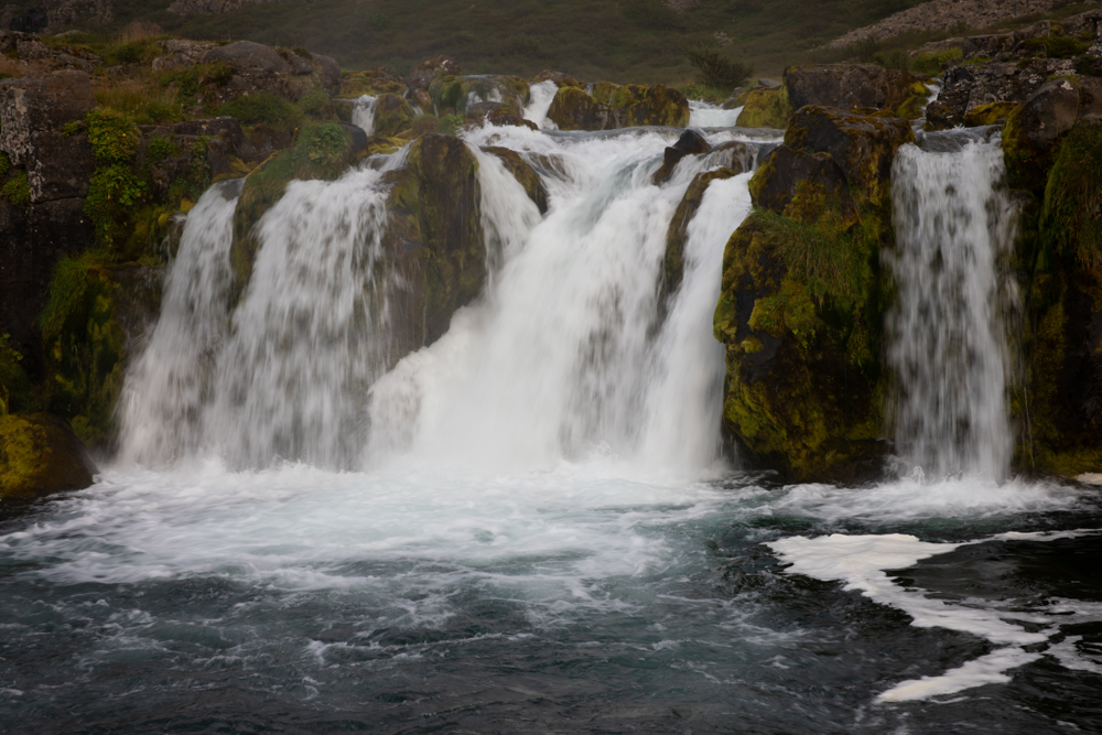
In the series of waterfalls topped by the Dynjandi waterfall, below Baejarfoss is one of the closest to the car park.
Hundafoss
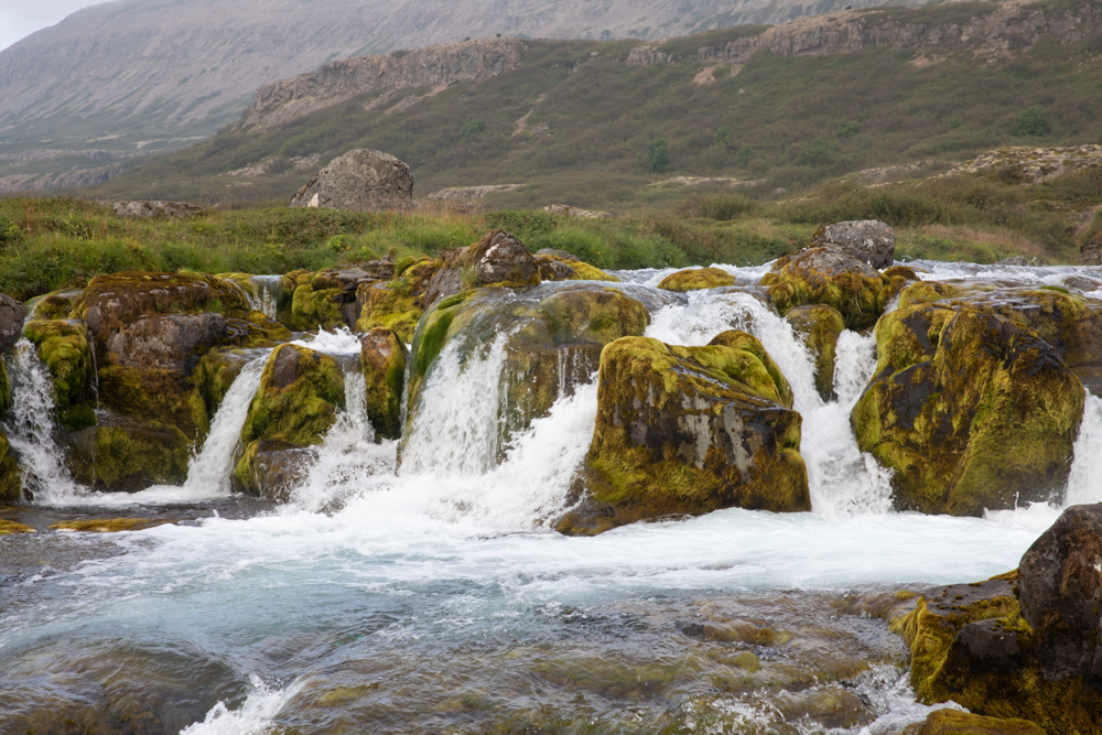
Moving uphill from Baejarfoss, Hundafoss is a pretty little waterfall near Dynjandi, consisting of several falls, surrounding rocks covered in green moss. The bottom of the river has a nice blue.
Hrisvadsfoss
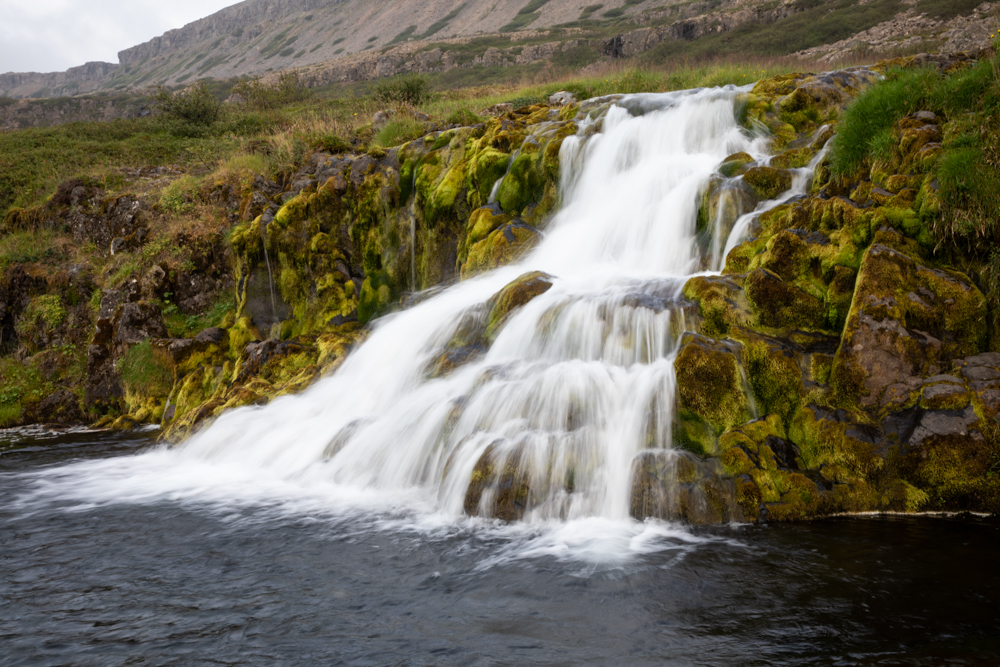
Also in the series of Dynjandi waterfalls, Hrisvadsfoss is very photogenic with its triangle shape, also surrounded by mossy rocks.
Gongumannafoss
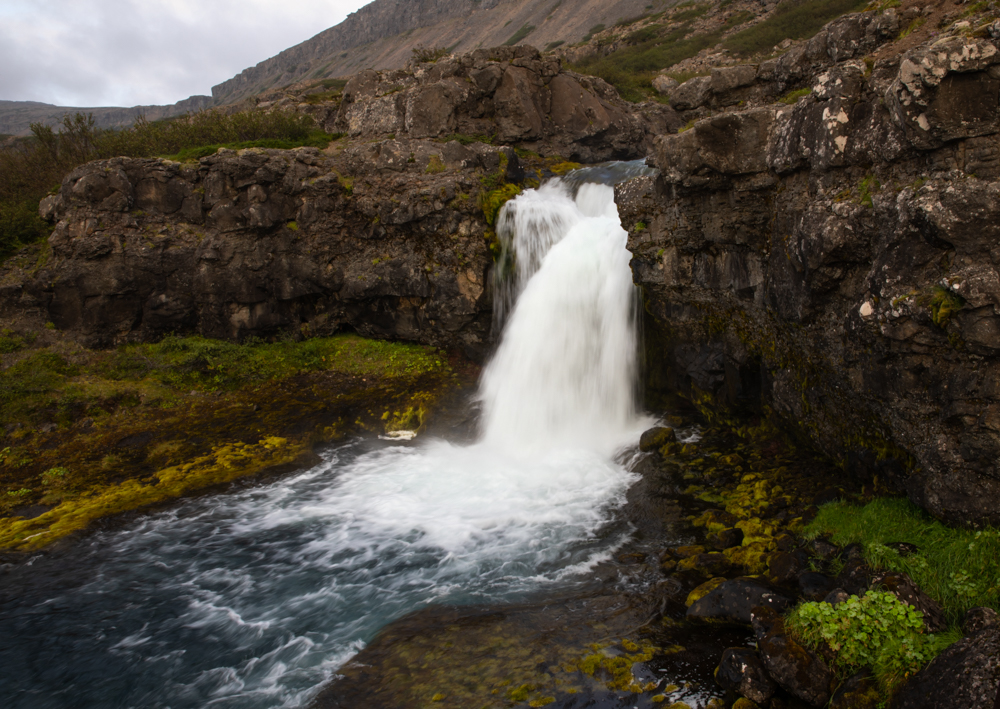
Approaching Dynjandi, Gongumannafoss is a small waterfall falling from a rocky bench.
Strompgljufrafoss
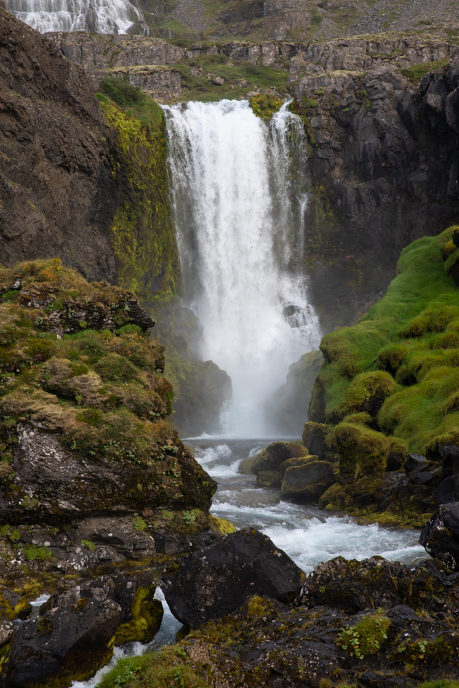
Below Dynjandi, Stompgljufrafoss is a slightly more impressive waterfall, it falls several meters high into a rocky encasement. A very beautiful scene with the rocks covered with moss.
Let me know your favorite one by dropping a comment !
I hope this Iceland waterfall guide will be helpful to you for planning your trip.
Complements Of the Waterfall Iceland Guide
You may be interested in :
2 thoughts on “The Iceland Waterfalls Guide (2022)”